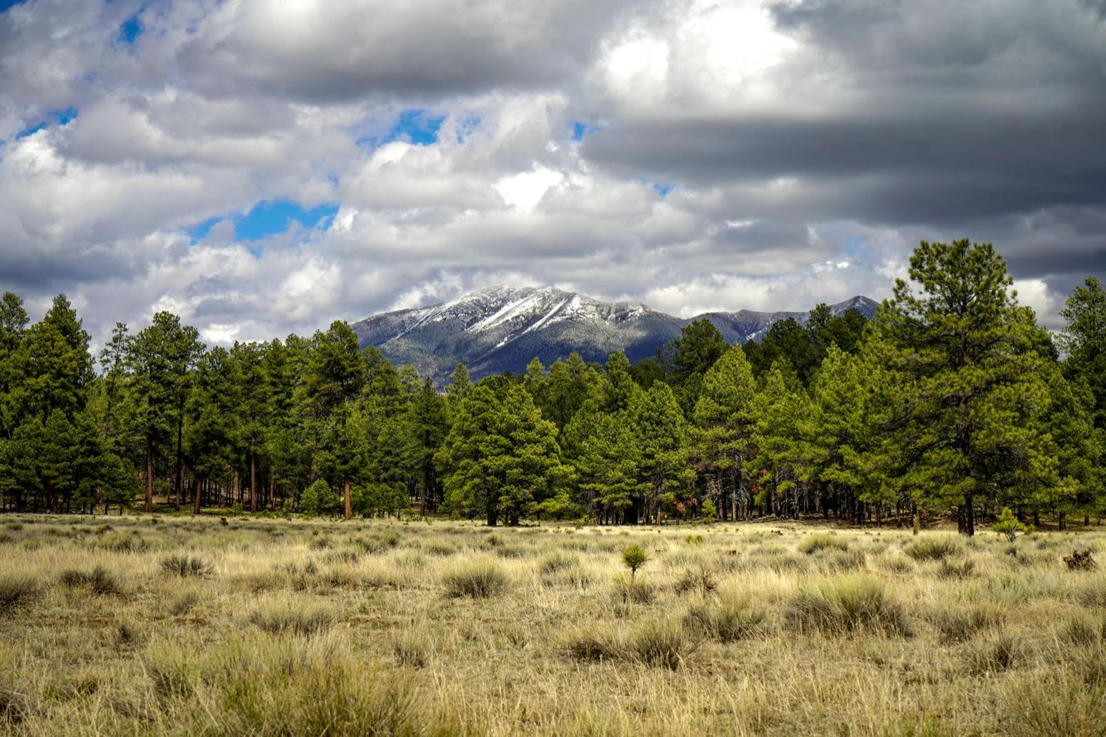
Getting to and through the White Mountains is part of the trip, not just the commute. Two roads define the region's driving reputation: the Salt River Canyon on US-60, the dramatic descent-and-climb most visitors from the Valley experience on the way up, and the Coronado Trail on US-191, a long, remote, switchback-heavy road out to the far eastern high country that's a destination drive in its own right. Both reward planning — fuel, timing, and realistic expectations about pace.
This guide covers both drives in detail. For where they lead, see our White Mountains travel guide, and for the alpine village the Coronado Trail region connects toward, see our Greer guide.
Fuel Up First
Both drives cross long stretches with no gas stations, no restaurants, and unreliable cell service. Fill your tank before descending into the Salt River Canyon or starting the Coronado Trail, and carry water and a paper map or downloaded offline map as backup. Winter conditions can bring ice and snow to both roads — check current road conditions before traveling December through March, and drive in daylight where possible on unfamiliar mountain curves.
The Salt River Canyon (US-60) — Arizona's "Mini Grand Canyon"
For most visitors coming up from Phoenix and the Valley, the Salt River Canyon is the first real "wow" of the trip — US-60 drops from the high desert plateau down into a deep, cliff-walled gorge cut by the Salt River, then climbs back out the other side toward Show Low. The switchbacks are tight enough that the posted speed drops well below normal highway pace, and the roadside overlooks near the canyon crossing offer some of the best photo stops on the whole drive up. It's often described as a smaller-scale echo of the Grand Canyon's layered rock, visible right from the highway rather than requiring a hike.
The honest caveat: there are no services in the canyon itself, the curves demand real attention, and the drive is slower than the mileage suggests. Fuel up in Globe or Show Low before or after the canyon crossing, and if you're prone to carsickness on winding roads, plan accordingly. As part of the full Phoenix-to-Show-Low route, expect roughly three to three and a half hours total, with the canyon itself being a relatively short but memorable segment.
The Coronado Trail (US-191) — One of America's Most Remote Paved Roads
Where the Salt River Canyon is a dramatic but relatively short highlight on the main route in, the Coronado Trail is a destination unto itself. US-191 runs north from the Clifton-Morenci mining district up through the far eastern high country to Alpine and Springerville, climbing through forested mountain terrain with an unusually high concentration of curves over an extended distance — it's frequently cited as among the most remote and winding paved highways in the country. The road passes through Apache-Sitgreaves National Forest land for much of its length, with long stretches where you'll see more elk than other cars.
Treat the Coronado Trail as a slow, full-attention drive rather than a quick pass-through: budget significantly more time than the raw mileage implies, fuel up before you start, and don't expect reliable cell service along the way. For travelers headed toward Greer and the Mount Baldy area, the Coronado Trail's northern end feeds naturally into that part of the high country. This is a drive for people who want the road itself to be part of the trip, not a shortcut between two points.
Other Notable Drives in the High Country
Beyond the two marquee routes, the Mogollon Rim Road (Forest Road 300) traces the escarpment edge above the towns, linking several of the region's high-country lakes with long views off the plateau — much of it unpaved forest road, so check current conditions and vehicle suitability before setting out, especially after rain or snow. SR-260 over the Mogollon Rim is the standard connector between Flagstaff/the north and the White Mountains, and while less dramatic than the Salt River Canyon, it's a scenic pine-forest drive in its own right.
Guided Drives & Tours in the White Mountains
Scenic-drive experiences, guided outings, and other White Mountains activities — hand-picked from Viator. Affiliate disclosure.
Browse White Mountains ToursWe earn a small commission if you book — at no extra cost to you.
More White Mountains Guides
Greer, Arizona
The alpine village near the Coronado Trail's northern reach — cabins, fall color, and Mount Baldy.
Alpine VillageHiking & Trails
The Mogollon Rim hikes and trail system that pair with the Rim Road drive.
TrailsLakes & Fishing
The Rim lakes reached off the same Rim Road corridor covered here.
Trout FishingSkiing & Snow
Sunrise Park Resort — and why winter driving on these roads needs extra caution.
WinterFrequently Asked Questions
What is the Salt River Canyon, and why is it called Arizona's 'mini Grand Canyon'?
The Salt River Canyon is a deep, cliff-walled gorge that US-60 switchbacks down into and climbs back out of on the standard drive from the Phoenix Valley up to Show Low. The comparison to the Grand Canyon comes from the scale and the exposed rock layers visible from the highway's overlooks, not from an implication that it rivals the Grand Canyon's size — it's a smaller, roadside version of that kind of dramatic canyon geology, and one of the most visually striking stretches of highway in the state.
Are there services in the Salt River Canyon?
No — there are essentially no gas stations, restaurants, or reliable cell service in the canyon bottom itself. Fuel up before you descend, whether you're coming from the Globe side or the Show Low side, and don't count on finding help quickly if something goes wrong mid-canyon. The drive itself is not long, but the lack of services is exactly why locals recommend treating it with the same respect as any remote stretch of road.
What is the Coronado Trail, and how does it differ from the Salt River Canyon drive?
The Coronado Trail (US-191) runs north from the Clifton-Morenci area up to Alpine and Springerville through the far eastern high country, and it's widely described as one of the most remote and curve-heavy paved roads in the United States. Unlike the Salt River Canyon, which is a dramatic but relatively short descent-and-climb on the main Valley approach route, the Coronado Trail is a long, slow, switchback-heavy mountain drive best treated as the destination itself rather than a quick pass-through.
How long does the Salt River Canyon drive take?
The canyon stretch itself is a relatively short section of US-60, but it's slow going — expect to drive it well under the posted highway speed for the switchbacks, and factor in stops at the overlooks if you want photos. As part of the full Phoenix-to-Show-Low route, the whole drive typically runs somewhere in the three-to-three-and-a-half-hour range depending on traffic and stops, with the canyon itself being one segment of that longer trip rather than the entire drive time.
Is the Coronado Trail safe to drive, and what should I know before attempting it?
It's a paved, publicly maintained highway, but it has an outsized reputation for its sheer number of curves and its remoteness — long stretches with no fuel, no cell service, and few other vehicles. Drivers prone to motion sickness should be aware the road is unusually winding for an extended distance. Check current road conditions and any seasonal closures before a trip, carry extra fuel and water, and don't plan to rush it — the Coronado Trail rewards a slow, deliberate pace, not a fast pass-through.
